Integrated spatial planning as a tool to reduce the effects of geohazards in construction investments
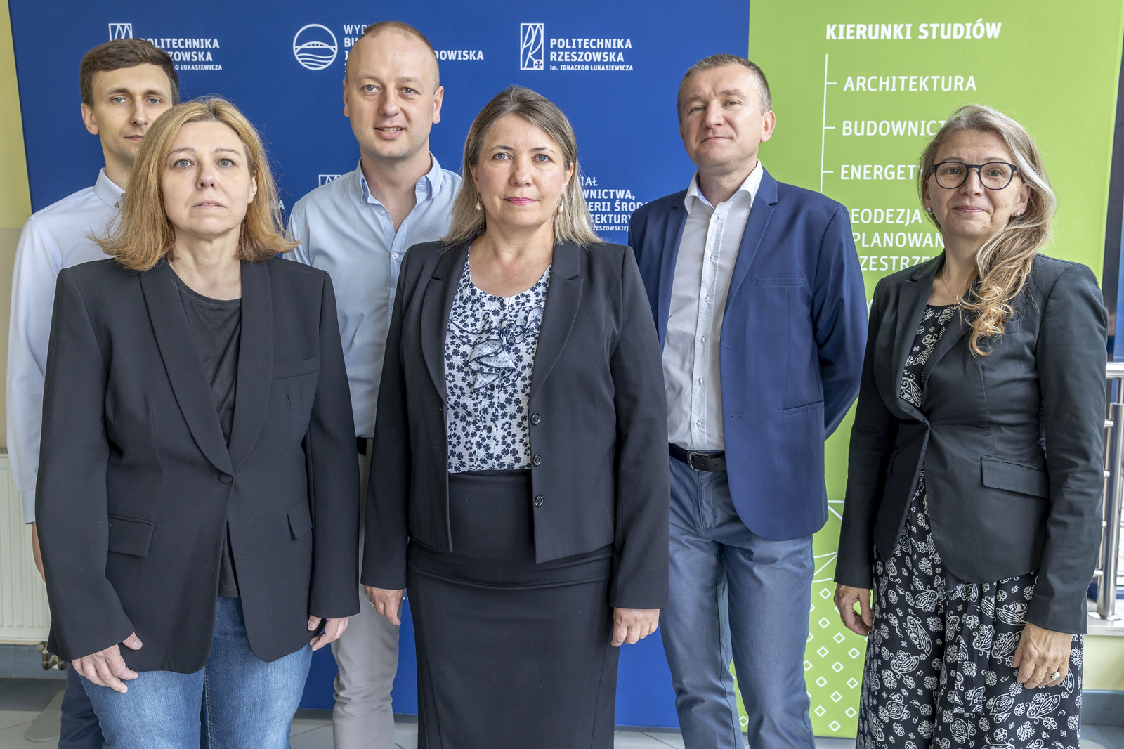
Project is performed within the VIA CARPATIA Polytechnic Network ointhe name of the President of the Republic of Poland Lech Kaczyński. The project manager is Wanda Kokoszka, BEng, PhD from Department of Geodesy and Geotechnics at The Faculty of Civil and Environmental Engineering and Architecture of the Rzeszów University of Technology. The research project is carried out by a cooperation of three research groups: research team from the Białystok University of Technology, the Lublin University of Technology and the Rzeszów University of Technology. The project leader is the Rzeszów University of Technology.
Research team
Bialystok Technical University: Principal Investigator: Maria Sulewska, BEng, PhD, DSc, ProfTit., Research team members: Wojciech Gosk, BEng, PhD, Andrzej Kamocki, BEng, PhD
Lublin University of Technology: Principal Investigator: Marta Słowik, BEng, PhD, DSc, Arch., Assoc. Prof., Research team members: Ewa Błazik-Borowa, BEng, PhD, DSc, ProfTit., Natalia Przesmycka, BEng, Arch., PhD, DSc, Arch., Assoc. Prof., Krzysztof Nepelski, BEng, PhD, Agnieszka Lal, BEng, MSc
Rzeszow University of Technology: Principal Investigator: Wanda Kokoszka, BEng, PhD, Research team members: Izabela Skrzypczak, BEng, PhD, DSc, Assoc. Prof., Anna Sikora, BEng, Arch, PhD, Assoc. Prof., Grzegorz Oleniacz, BEng, PhD, Aleksander Duda, BEng, PhD, Dominik Ożóg, BEng, MSc
Project description
Integrated spatial planning as a tool to reduce the effects of geohazards in construction projects will be based on research to analyse and synthesise knowledge relevant to the issue under consideration. Analyses of integrated spatial planning in a Geographical Information System (GIS) environment will allow the execution of various numerical, statistical and heuristic implementations.
Hence the participation in the project of researchers from different areas and disciplines, specialists in geotechnics, geodesy, urban planning, computer science, structural safety and reliability, and those involved in the application of GIS tools in spatial planning. The research work carried out within the framework of mapping key geohazards will make it possible to identify the hazards that most determine the sustainable spatial and socio-economic development of eastern Poland. The main objective of the research works will be the guidelines/forecast of spatial development taking into account the effects of geohazards in construction investments, i.e. determination of priority directions of spatial development of areas selected for analysis oriented on the use of geoinformation and available map data and determination of the direction of development of key areas of the region in terms of spatial development. The maps obtained as a result of the numerical statistical analyses can be applied and be an effective tool to support decision-making in the preparation of the local spatial development plan.
In light of the ever-increasing needs for land use, both urbanised and non-urbanised, the intensive exploitation of natural resources and the unstable climatic conditions of concern, issues of geohazard mitigation occupy a priority position among global scientific and research issues. Natural disasters are among the most threatening to the safety of people and their property, including buildings. The torrential rains occurring in eastern Poland in recent decades have caused not only floods, but also the formation of mass movements. Of course, the occurrence of such phenomena is beyond our direct control, but proper spatial planning, appropriate location of infrastructure and anticipation of risks can contribute to minimising material and social losses. A holistic approach to natural hazards, risk assessments and integrated spatial planning therefore seems to be the only sensible solution that should be pursued to become a viable practice. At present, the effects of natural hazards are traditionally interpreted by means of simple statistical analysis or historical records. The extension of analyses using modern methods and technologies and the inclusion of considerations related to anthropogenic changes of the natural environment in a global, regional or local scope seems necessary to implement integrated spatial planning as an effective tool to reduce the effects of geohazards in construction projects. The use of innovative research tools changes not only the standards and methodology of data analysis, but also the awareness and perception of the effects of natural and anthropogenic hazards.
Recently, there has been a noticeable increase in the occurrence of disasters caused by floods and landslides. Heavy rainfall has resulted in the activation of mass movements and deformation phenomena, damage to infrastructure, danger to people and economic hardship. Damage caused by landslides in Poland in 2010 is estimated at around €2.9 billion. As a result of the floods that swept through Poland in May and June 2010, nearly 70 000 families were affected. Losses were sustained by 811 municipalities and their value is estimated at over PLN 12 billion. In the case of landslide areas, despite the fact that it is the duty of administrative bodies at the level of starosties to keep the so-called register of areas threatened by mass movements of the earth and areas where these movements occur, local spatial policy often arouses controversy. This is due, among other things, to the designation of areas for new investments, where the area for development has been identified inappropriately or with no regard to the risk to people and property. In addition, the fact that there are fewer and fewer attractive areas for investment, hence attempts to develop landslide-prone areas seem inevitable, works to the disadvantage. The 2017 NIK report shows that the main problems are the lack of a system to obtain and collect information on landslides from various sources (including local governments) on an ongoing basis, and the lack of analytical tools to forecast, assess and reduce the risk of landslides. Detailed analyses of the impact of hazards on the suitability of a site for development are still relatively scarce, and their results are presented in few publications.
The project concerns the assessment of the impact of hazards on the suitability of land for development by developing a methodology for creating an integrated spatial planning system that takes into account the many hazards that are often correlated with each other, e.g. heavy rainfall alters the geotechnical parameters of the land and generates landslides and other adverse deformation phenomena. The problem of inadequate spatial planning and implementation of investments in endangered areas lies not only in the lack of proper cooperation between those responsible for investments, but also in low public awareness of potential socio-economic losses. It is often the case that residents/investors expect non-cyclical phenomena in the form of landslides to disappear and the area to regain stability. Unfortunately, not only inappropriate siting, but also inadequate construction of buildings or infrastructure in landslide areas often leads to damage and, in many cases, to a building disaster. The delineation of hazard zones or site suitability plans is a critical task when it comes to the process of managing geohazardous areas, or determining the suitability of a site for development. Planning studies can be carried out using a variety of methods. However, the first step of all analyses is to establish the mapping/mapping unit and to assign weights and determine the relative importance of the various causal factors. As is well known, hazard activity is triggered by factors that vary from area to area, region to region, so using determined weight values for individual parameters is not the right approach. Since heuristic, semi-quantitative techniques include subjectivity in the assignment of weights, the value of the plans/maps developed on this basis cannot be evaluated.
Objective quantitative methods for determining weights for individual parameters based on their relationship to the occurrence of geohazards are also controversial due to the lack of complete data. A pairwise comparison approach is preferred in the scientific literature for determining weights. In contrast, not only the assignment of weights, but also the use of remote sensing and GIS-derived data is of great importance for the effective assessment of geohazards. The advancement of GIS techniques and the incorporation of high-resolution satellite data improves the level of accuracy of the developed land use plans for development. Parametric (e.g. cluster analysis, principal component analysis) and non-parametric statistical techniques and related tests can also be used to analyse the information content of large sets of geoenvironmental variables. These methods and related tests help to verify collinearity between variables and identify the variables that are most relevant for vulnerability modelling, contributing to the reduction of the number of predictors (explanatory variables).
GIS techniques will be used to research and analyse integrated spatial planning as a tool to reduce the effects of geohazards in construction projects, which will enable the development of spatial plans with a preventive functional dimension. On the other hand, an approach of pairwise comparison of individual layers/factors – the Analytic Hierarchy Process (AHP) method and the hitherto unused Hellwig and DeMatel methods in the analyses - will be used to determine the weights for individual thematic layers of causal factors, and ROC curves will be used for verification. The adoption of these methods for spatial planning as an integrated tool for mitigating the effects of geohazards in construction projects is a new approach regionally as well as nationally.
The problem of inadequate guidelines to the spatial development plan occurs not only in Poland, but is common to many countries for which the procedure of actions and provisions in spatial development documents can be described with similar parameters. The research team has not yet found similar solutions to the proposed one described in the European and world literature based on integrated systems. Therefore, it can be concluded that the proposed methodology is innovative on a global scale. The developed system of determining guidelines and directions of spatial planning, taking into account the negative effects of risks in construction investments, is particularly important in the era of climate change, affecting the intensity of such phenomena. Integrated spatial planning allows us to prepare for the possible occurrence of hazards, while also identifying their consequences and developing measures to minimise their negative effects. Integrated spatial planning tools can significantly increase the effectiveness of proposed spatial solutions and cause additional positive effects for municipalities or counties by improving the quality of life and working conditions, supporting the decision-making process of efficient and rational spending of public funds. The research work is therefore a response to the demand for support for various decision-making centres. Potential recipients interested in the results of the research should be governmental and self-governmental institutions at various levels working for spatial development.
The benefits of using the proposed models for the development of integrated spatial planning as a tool to reduce the effects of geohazards in construction investments include: taking into account qualitative and quantitative factors, the possibility of participation of the individual/collective decision-maker, speeding up the decision-making process, transparency of the decision-making process, increasing the professionalism of the decision-maker, psychological distancing of the decision-maker, obtaining a better quality decision, developing investment suitability maps taking into account the preferences of both the decision-maker and the investors, reducing the costs of construction implementation and maintenance. It should also be noted that the proposed models can be automated, which is an additional advantage of the proposed technology.